Solutions Organized by land problem

Restoration solutions for difficult-access land.

From treatment planning to measured establishment — matched to your land.

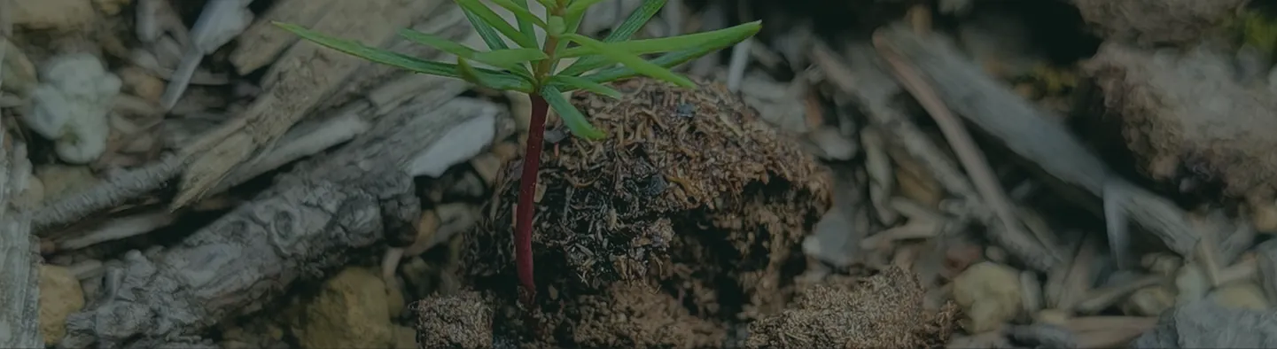
A hillside of burned forest beginning to recover

01 Forestry & Post-Wildfire Restoration

Regeneration support where crews can’t easily go.

For forest companies and wildfire recovery programs working across burned, remote or constrained ground.

  • Site assessment and species prescription
  • Seedpod production and UAV deployment
  • Establishment monitoring
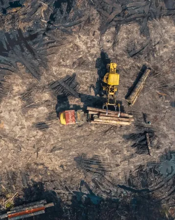
Aerial view of a disturbed industrial site

02 Mining & Industrial Reclamation

Vegetation on substrate that resists it.

For disturbed land where substrate, slope, access or scale complicate vegetation establishment.

  • Native grass, shrub and tree delivery
  • Staged prescriptions and substrate trials
  • Monitoring and reporting
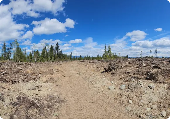
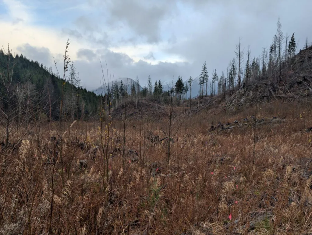
A cleared corridor through forest

03 Utilities & Infrastructure

Corridors restored with a record to show for it.

For rights-of-way, transmission corridors, slopes and remote infrastructure footprints.

  • Site mapping and targeted treatment
  • Lower-exposure field deployment
  • Vegetation monitoring
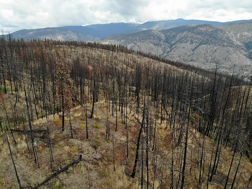
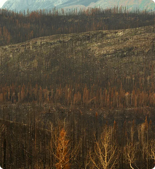
Aerial view of a burned forest

04 Watershed & Erosion Restoration

Vegetation as part of watershed recovery.

For post-wildfire and disturbed watersheds where vegetation is part of soil stabilization and recovery.

  • Mixed native vegetation
  • Treatment polygons in hydrological context
  • Baseline and post-treatment monitoring
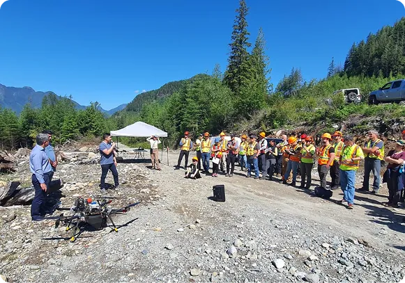
Community members gathered at a restoration site

05 Indigenous-Led Restoration

Implementation capacity, on your terms.

Technical capacity that works within stewardship priorities, local knowledge and project governance.

  • Integration with stewardship priorities and local knowledge
  • Community participation in delivery
  • Seedpod production, deployment and monitoring

06 Seedpod Supply

Engineered Seedpods for your own operations.

For partners with their own field operations who need engineered Seedpods.

  • Species-specific batches with QA/QC
  • Packaging and logistics
  • Deployment compatibility
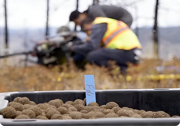
Trays of TreeTrack Seedpods during production

FAQ Before a project conversation

Common questions.

Don’t see yours? Tell us about your site.

What information do you need to assess a site?

The site location, approximate area, the restoration objective and any target species or vegetation types. A map, KML/KMZ or shapefile helps, but isn’t required for a first conversation.

What can TreeTrack establish?

Native trees, shrubs and grasses. Seedpod format and prescription are adapted to the species, the site and the season, so feasibility is confirmed site by site.

How is success measured?

By establishment — what grows — not by Seedpods deployed. Field observations and UAV imagery quantify the result.

Can you work alongside conventional planting?

Yes. TreeTrack is designed to complement conventional practice by extending treatment into areas that are steep, remote, unsafe or costly to reach on foot.

Do you only deliver full projects?

No. Engagements range from full restoration delivery to Seedpod supply, deployment-only work, TerraSight monitoring, or a pilot to test fit on your land.

Have difficult land to restore?

Send the site location, approximate area and objective. We’ll tell you if it’s a fit.